Interactive Atlas
A dedicated atlas page for environmental maps, layers, and local-global comparisons.
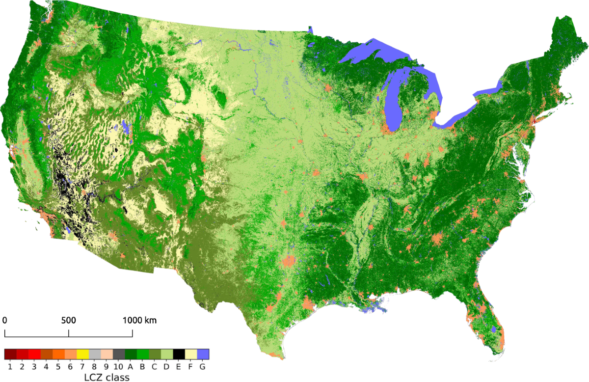 Explore
Explore map layers
Compare land use, climate risk, biodiversity, water stress, and community exposure.
The atlas helps turn data into place-based understanding.
Biome layers
Designed as a focused GreenNeXus action path with clear next steps.
Deforestation signals
Designed as a focused GreenNeXus action path with clear next steps.
Water stress view
Designed as a focused GreenNeXus action path with clear next steps.
Wildlife movement paths
Designed as a focused GreenNeXus action path with clear next steps.